Lanka Data Layer
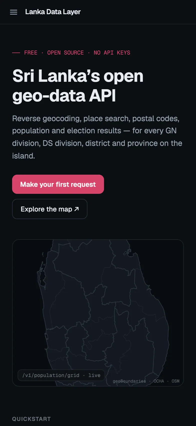
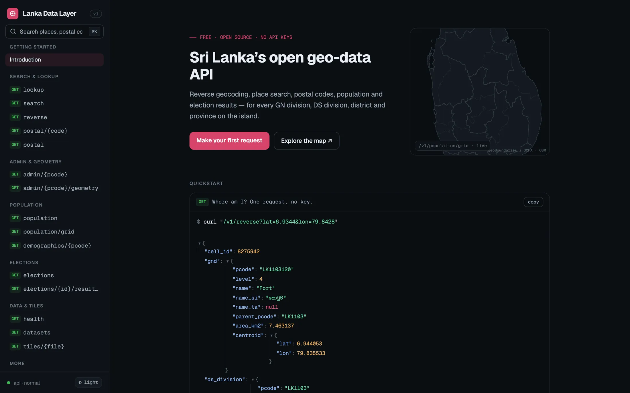
Sri Lanka’s open geo-data API.
One open API for the questions every Sri Lankan app ends up asking: which division is this coordinate in, who lives there, what is the postal code. Free, MIT-licensed, no keys.
- Reverse geocoding
- Postal codes
- Census 2024 population
- Election results
- No API keys
Admin units
14,417
province down to GN division
Where am I?
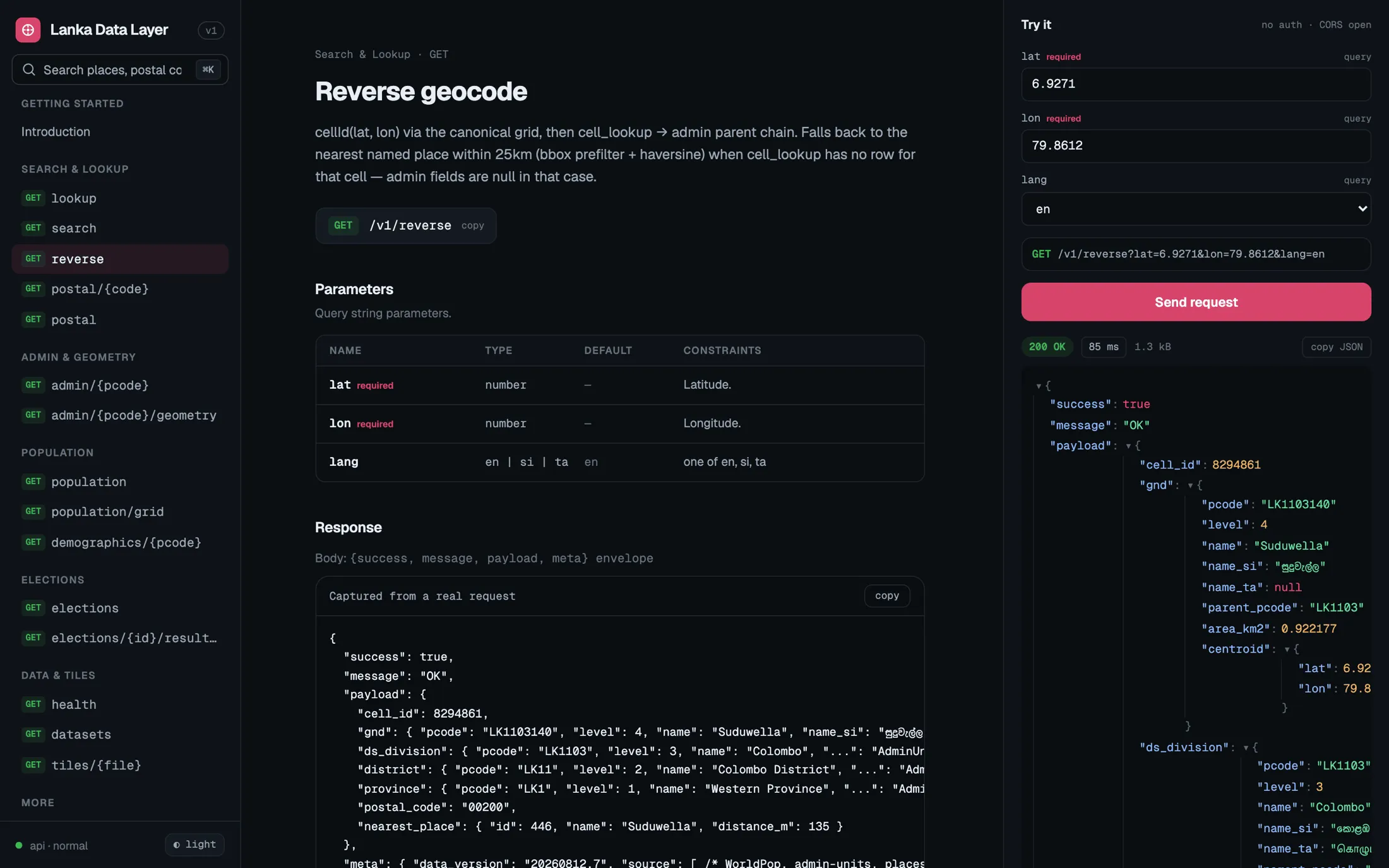
GET /v1/reverse?lat=6.9271&lon=79.8612

"gnd":         "Suduwella"
"district":    "Colombo District"
"province":    "Western Province"
"postal_code": "00200"
One indexed SQLite read
- ~14K
- GN divisions covered
- 1,833
- Postal codes
- 1
- SQLite file behind the API
- $0
- Per 1,000 requests
The problem I kept running into
Almost every project I start for Sri Lanka needs the same three answers early on: where is this point administratively, how many people live there, and what is the postal code? The data to answer them exists, but it is scattered across census PDFs, government portals, OpenStreetMap extracts and one-off spreadsheets. The alternatives are paying a global geocoder roughly five dollars per thousand requests for an API that barely knows what a GN division is, or hand-rolling the same extract again.
After doing the hand-rolled version more than once, I built the thing I wanted to call.
The idea: the country is small enough to precompute
The whole design comes from one observation. Sri Lanka is around 70,000 populated one-kilometre grid cells, 30,000 named places, 330 DS divisions and about 14,000 GN divisions. That fits comfortably in a single SQLite file.
So nothing spatial happens at request time. An offline pipeline I call the foundry fetches every source, normalises it to one schema keyed by official p-codes, runs all the point-in-polygon and aggregation work once, and writes lanka.sqlite. The API is then almost embarrassingly simple: reverse geocoding is one indexed read, and every response is cacheable. A full rebuild of the data takes about three minutes.
What you can ask it
- Reverse geocoding down to GN division, with DS division, district, province and postal code in the same response.
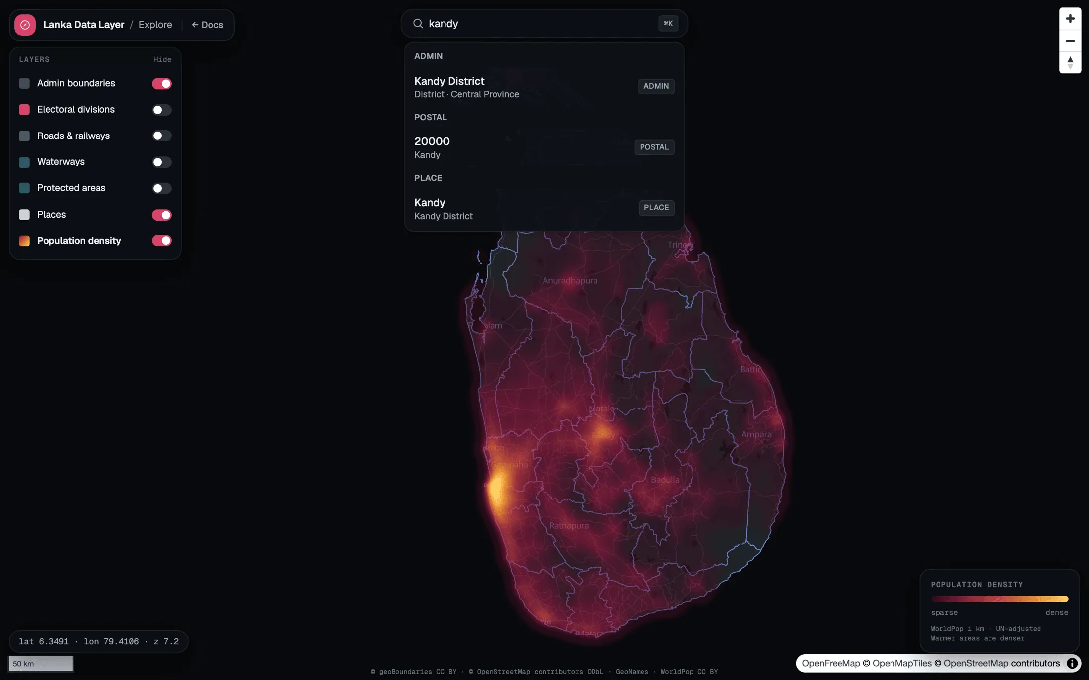
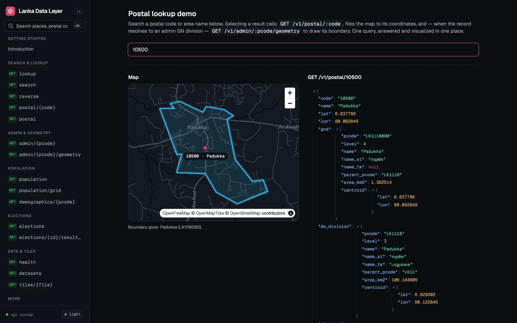
- One search box that understands four kinds of input: a place name, a five-digit postal code, a coordinate pair, or a p-code.
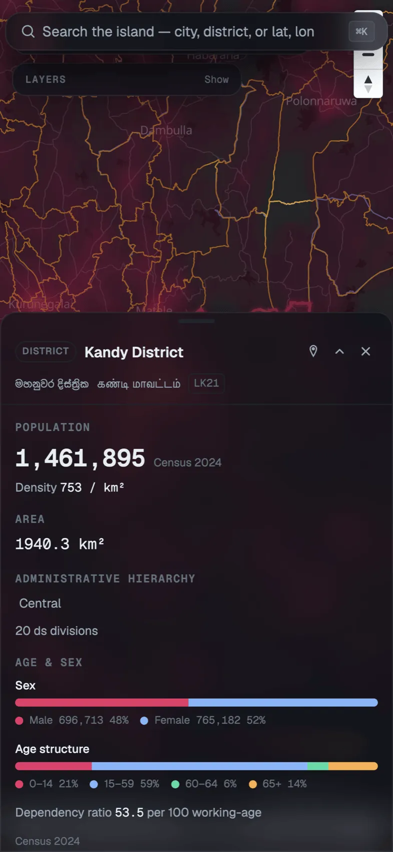
- Population and census profiles for every administrative unit, from the 2024 Census.
- Boundaries as GeoJSON, for highlighting a unit on a map.
- Search in Sinhala, Tamil and English.
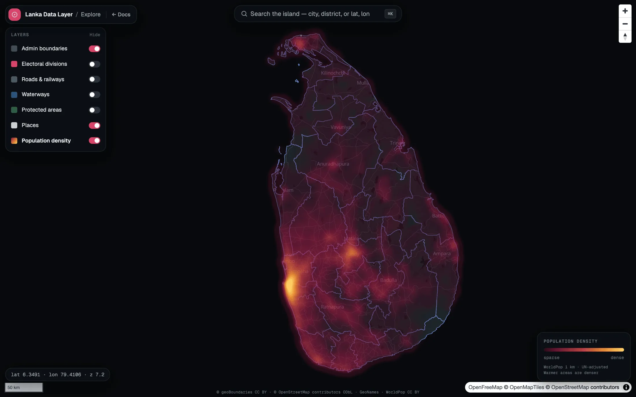
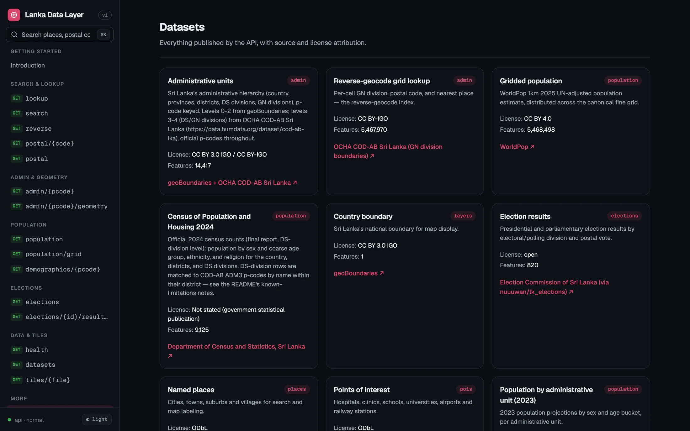
On top of the API there is an explorer: search anything, see its boundary light up, and read a detail card where each section names its own source instead of hiding behind one blended credit line.
Decisions I would make again
Docs that call the real API. Every endpoint page has a “Try it” panel that sends an actual request and shows the actual response. If the docs are wrong, they are visibly wrong.
No map bill. The basemap is OpenFreeMap vector tiles, so there is no token to manage and no cost that grows with curiosity.
Offline packages. The same data ships as npm packages for apps that cannot assume a connection.
Where it stands
Active and MIT-licensed. It grew out of Ceylon Hub, and it is the project I would point to first if you asked what Prabhava Labs is for.
In pictures
A closer look
Screens
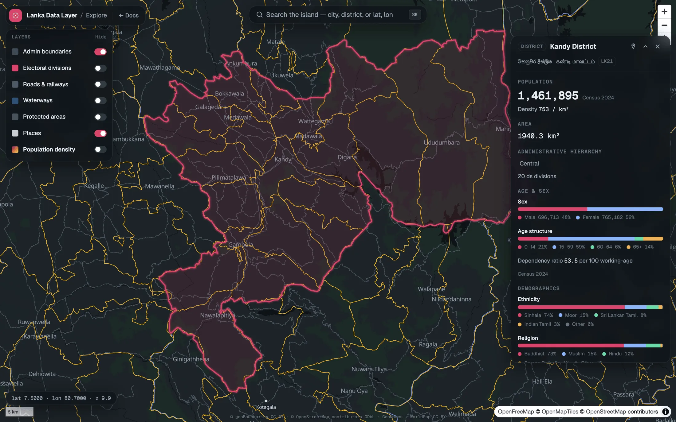
On a phone