TerraRun
Run a loop, own the land inside it.
A running game about land. Run a closed loop and the ground inside it becomes your territory, until somebody else laces up and takes it back.
- Close a loop, own the land
- Take it back by re-running
- Live over WebSockets
- Speed checks against cars
Coverage to capture
85%
of the rival’s route, re-run
Claiming ground
- Run a loop with GPS on
- Finish within 50 m of the start
- The polygon inside is yours
Capped at 45 km/h
- 50 m
- How close start and finish must be
- 85%
- Route coverage needed to capture
- 25%
- Maximum overlap with existing turf
- 45 km/h
- Speed cap, so cars do not win
The itch
Running apps are excellent at telling you what you did: pace, distance, a medal for beating yourself. What they never give you is a reason to go out on the day you do not feel like it.
TerraRun borrows one from childhood games. Land. Run a loop and the area inside it is yours on a shared map. If someone wants it, they have to go and run it.
Turning a jog into a polygon
The rules had to be strict enough to be fair and loose enough to survive GPS.
- A run counts as a loop if it ends within 50 metres of where it began.
- The trace is simplified, then turned into a polygon and checked for area and overlap.
- A territory can be anything from 500 square metres to 50 square kilometres.
- A new claim may overlap existing turf by at most 25%, so you cannot simply draw a bigger circle around someone.
Taking territory
To capture someone’s land you re-run their route with at least 85% coverage. “Did you run the same route?” is a fuzzier question than it sounds, so similarity is measured geometrically, as the distance between your trace and a buffer zone around theirs.
A speed cap of 45 km/h keeps cars off the leaderboard.
Under the map
The map updates live over WebSocket. An in-memory spatial index answers “what is in this viewport?” quickly, while PostGIS remains the source of truth for the geometry.
What I do not know yet
Every game-balance number above is an environment variable, on purpose. I will not know the right values until real runners start arguing about them.
Where it stands
An early prototype: a Go backend and a React frontend that start with one command. There is no public server yet, and snapping traces to real roads is still on the list.
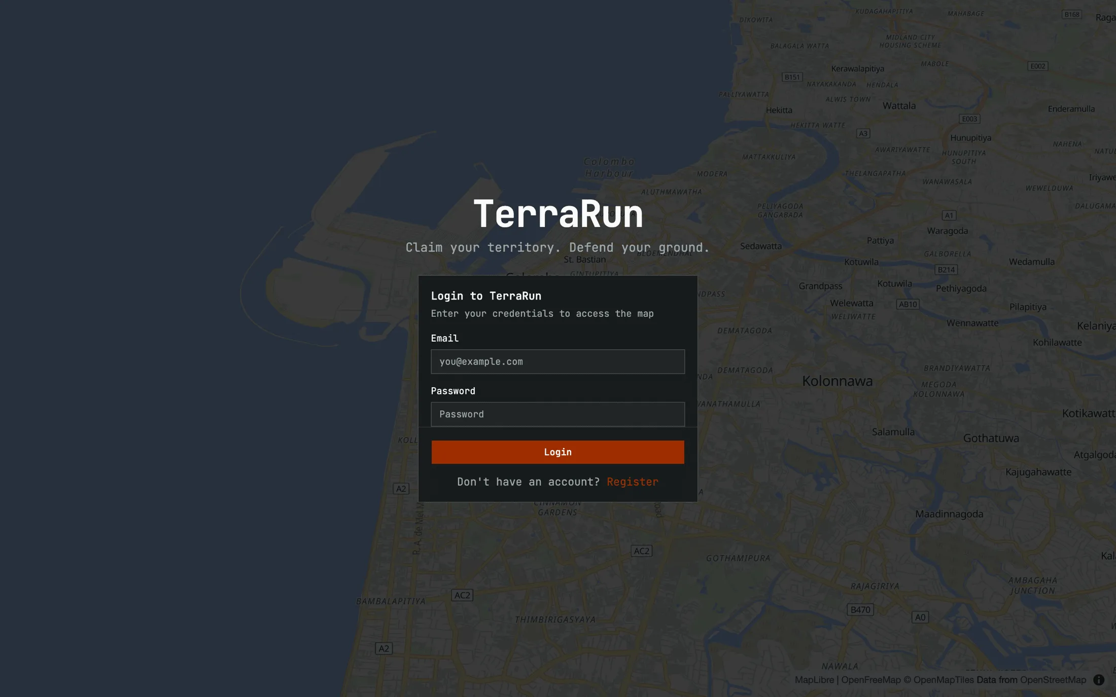
In pictures
A closer look
Screens
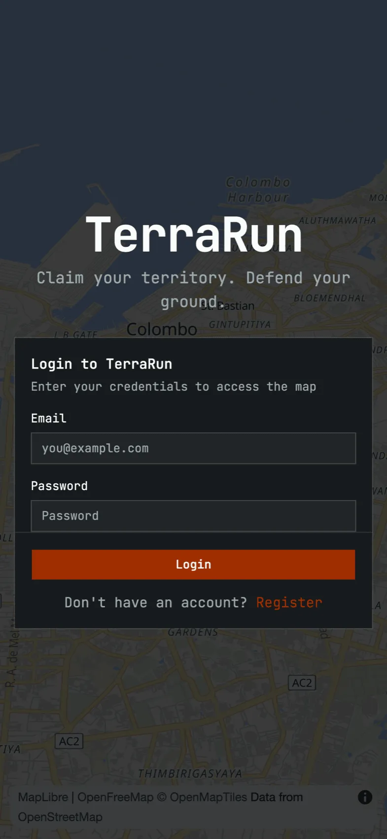
On a phone